Mainstream Adventures

When You Constantly Push Your Limits You Will Never Reach Them

Page 131 of 307

This Lakeside Hike In Missouri Provides Stunning Views And Amazing Sites

Sometimes while visiting Branson, its nice to get away from all the crowds.  Well The Lakeside Forest Wilderness Area is a perfect place to do just that. The Lakeside Forest Wilderness Area is located at 412 Owen Lane, in Branson, Missouri. For more information, click here. For directions to the park, click here.

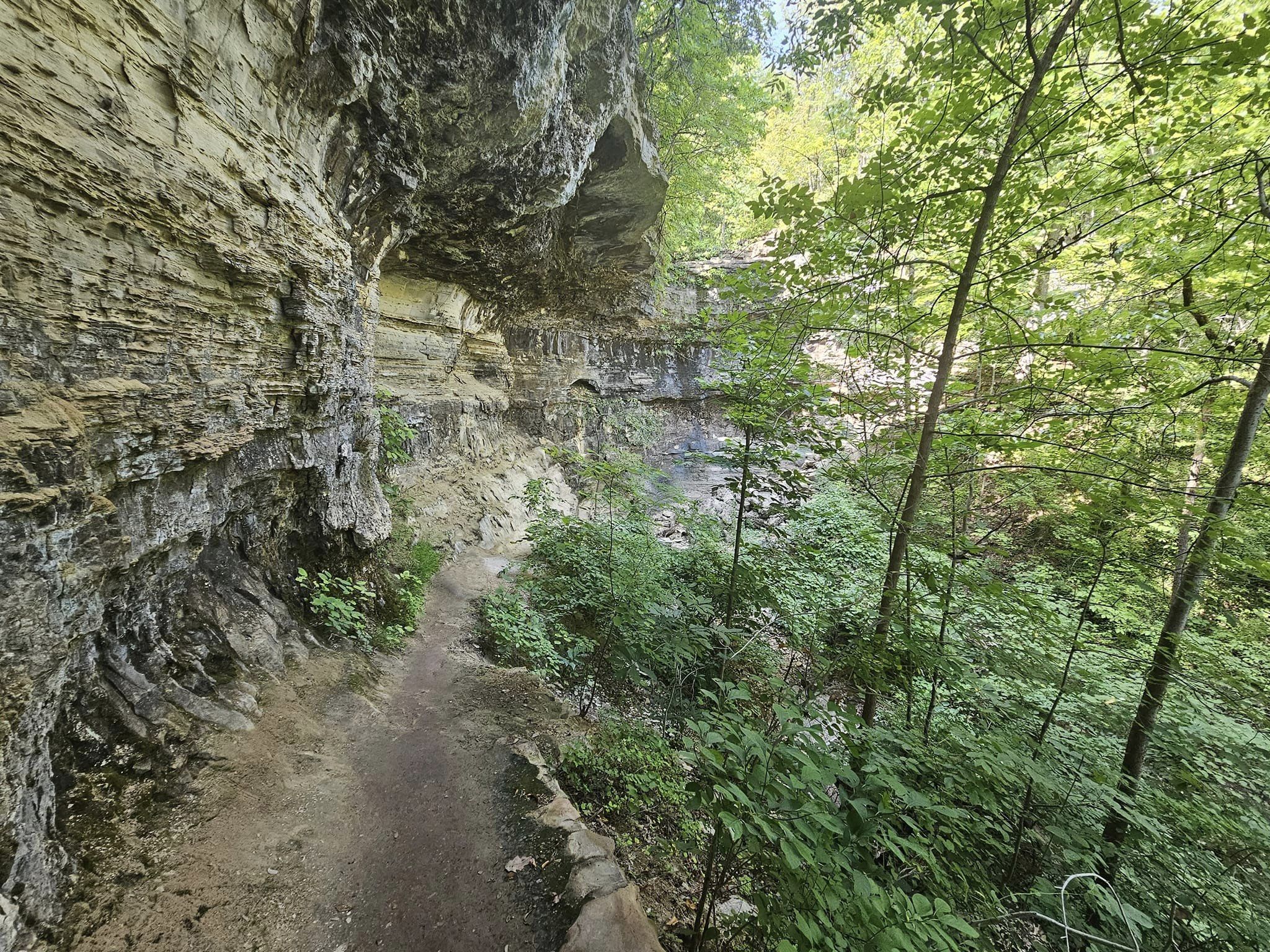
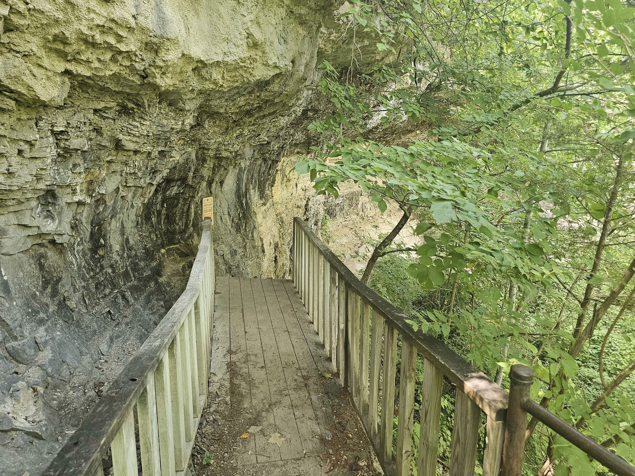
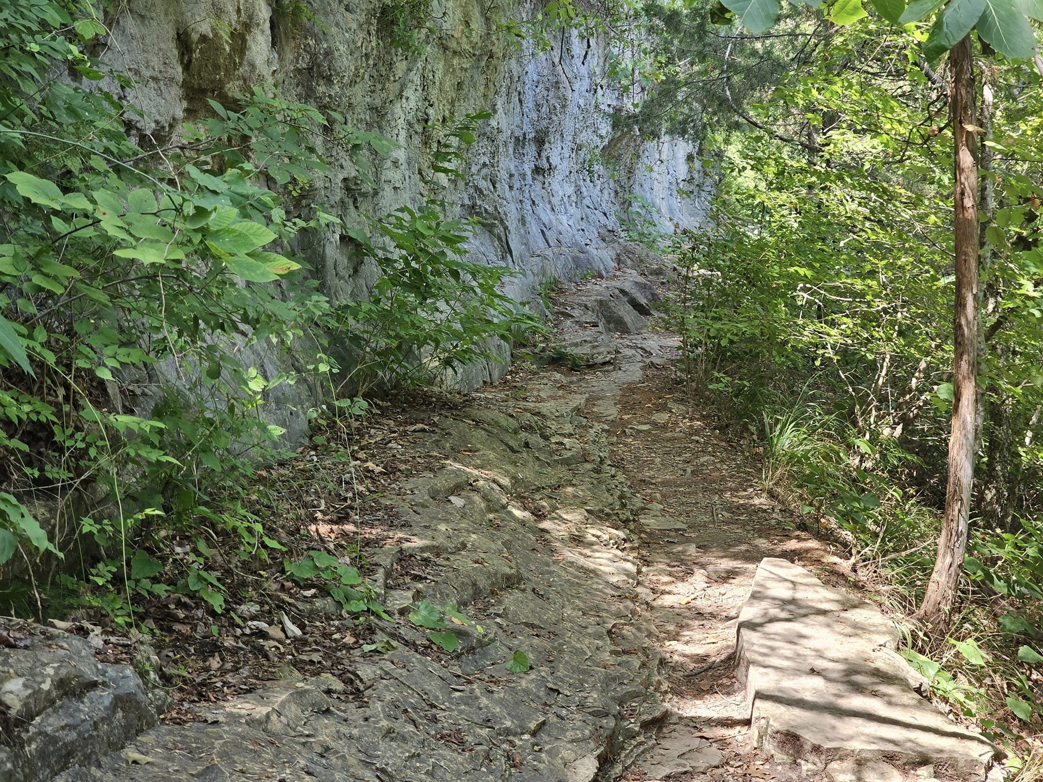
Lakeside Forest Wilderness Area is located in the in the heart of Branson and offers a nature escape with 140 acres of wooded and rugged hill country and 5.3 miles of trails. Both visitors and locals can enjoy this unique park with its two woodland trails that wind through forest, along bluffs and across glades.

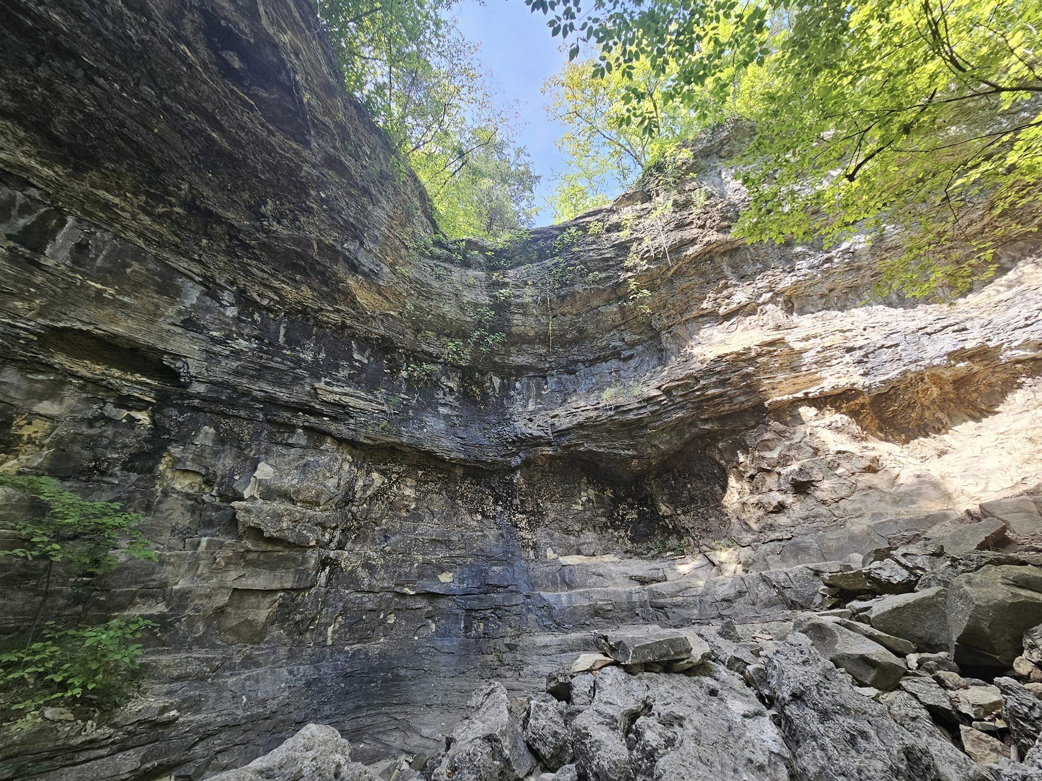
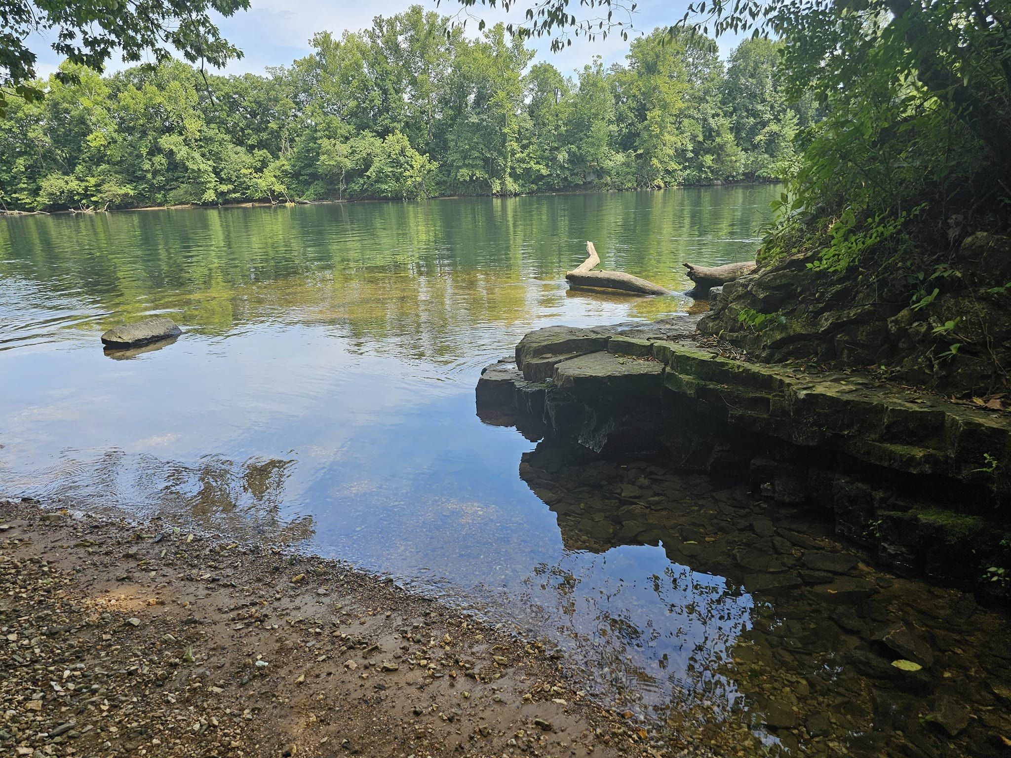
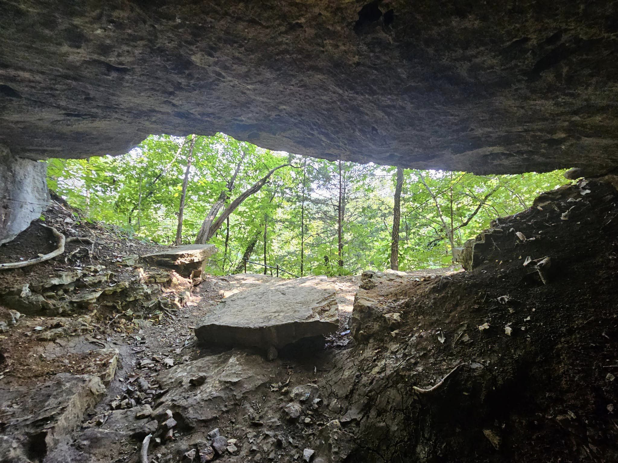
A set of 315 stone steps lead down toward Lake Taneycomo along a path that features a  stunning waterfall and cave. The property also features almost 2,000 feet of hand-built stone wells. The park is located off Fall Creek Road just south of Highway 76.

An entrance feature with a large wooden log archway over an ornamental iron gate with a decorative native stone veneer welcomes visitors to the park. Other recent improvements include a nature playground and pavilion near the entrance.

A covered porch swing that utilizes stone columns and rock from the original home site, established in 1911, can be found near a picnic area that provides beautiful views of Lake Taneycomo.

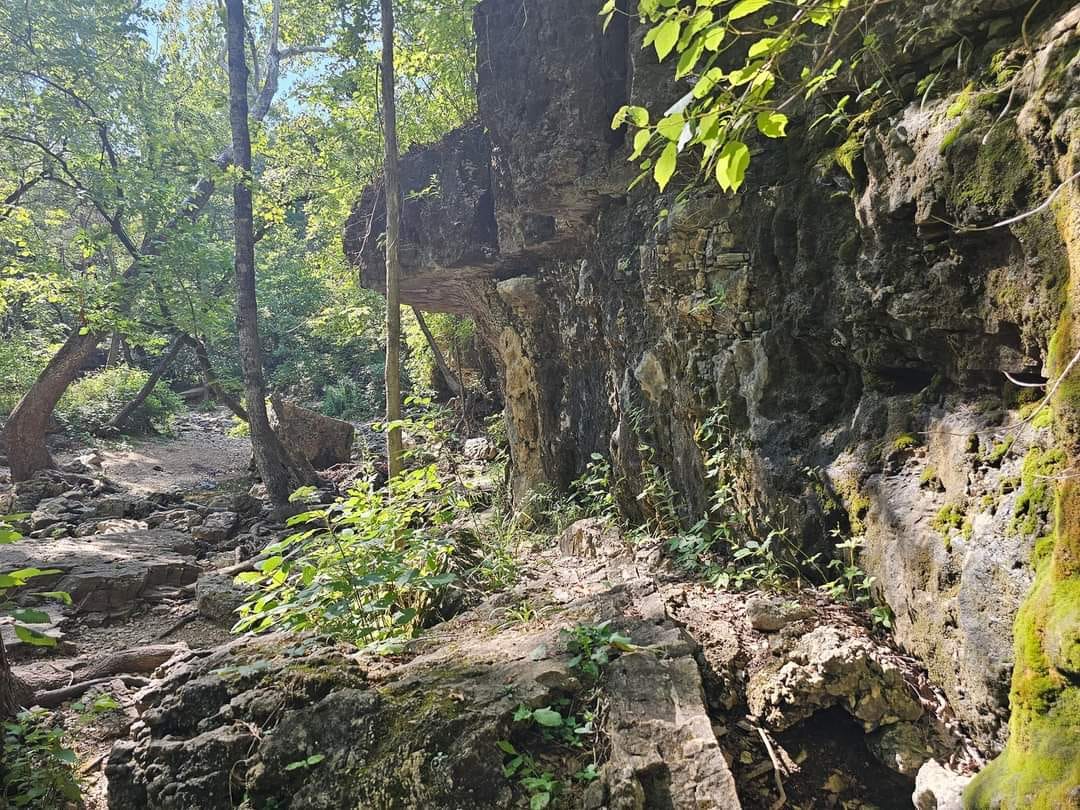
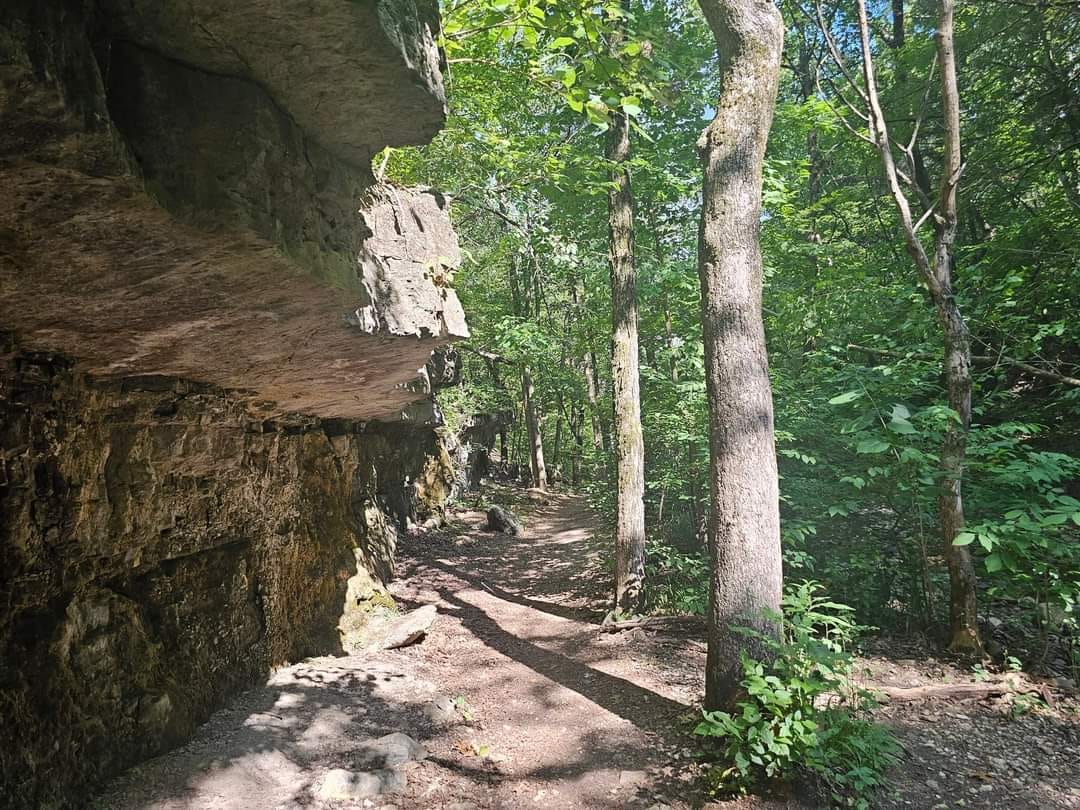
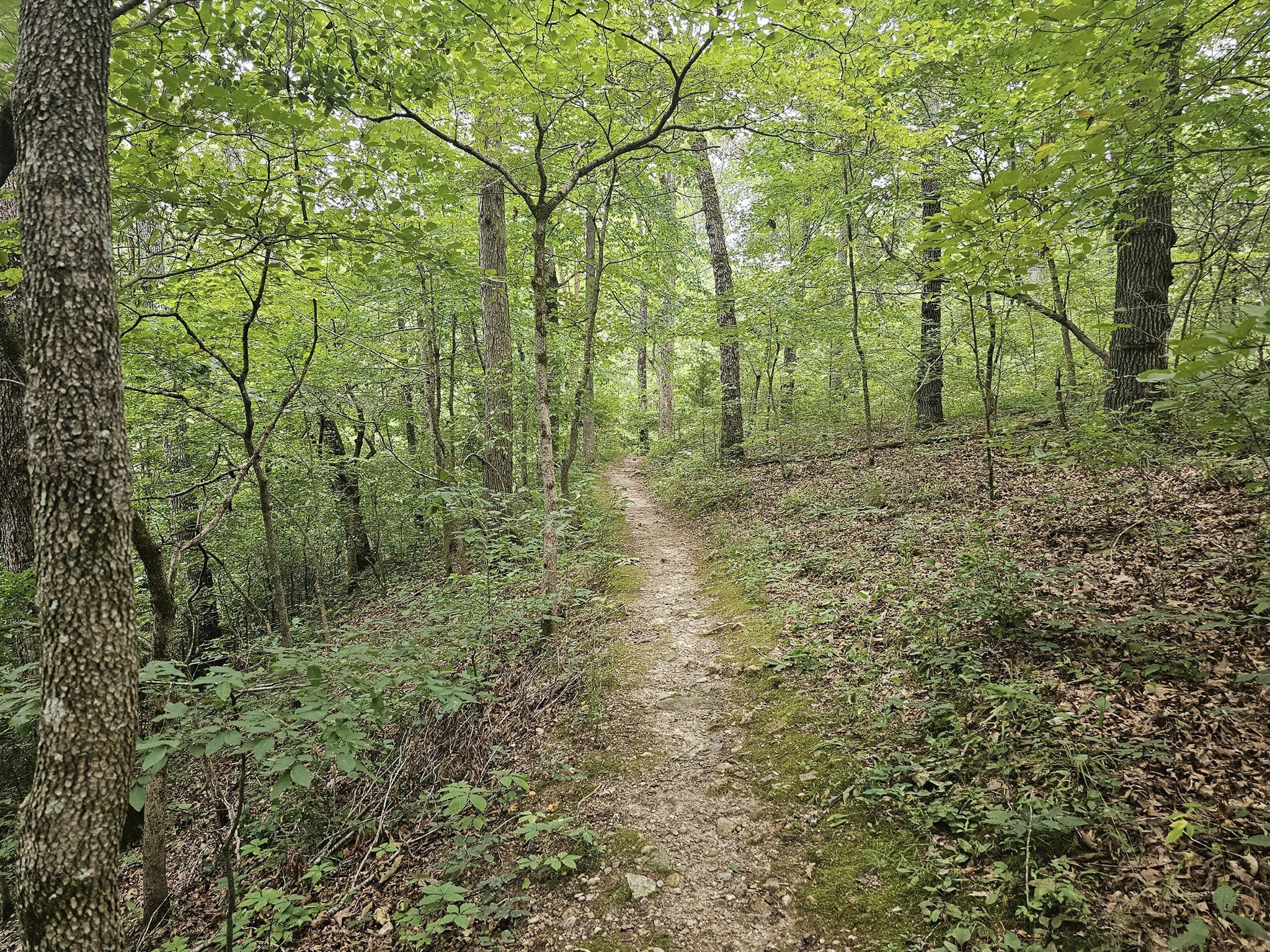
The  bluff trail (marked in blue) is my personal favorite, this trail takes you through a mature growth forest, and leads you to stunning views high above Lake Taneycomo. Follow the trail down to  the lake and you will find a couple caves, and an epic waterfall. The hike is not easy but its totally worthwhile. As an added bonus, there is a unique spot to hit the lake at the very end of this trail. Its a great little cove to cool off in before hiking back to your car!

For more Amazing Locations in Missouri, click here. For the areas best lodging, click here. For the best family activities, you can click here.

This Epic Waterfall Trail In Missouri Leads To A Hidden Swimming Hole

Branson Missouri is full of amazing places, from incredible shows to breathtaking sites there’s a reason it’s one of the top destinations in the Midwest. Sometimes thou Branson can get a little crowded. If you are in the area and feel the need to get away from everyone, just head on over to the Branson Waterfall Trail and enjoy a scenic hike and even take a dip in one of the pools of water you find along the way. For more information, click here. For directions to reach the waterfall trail, click here. Trust me, you will need these directions!

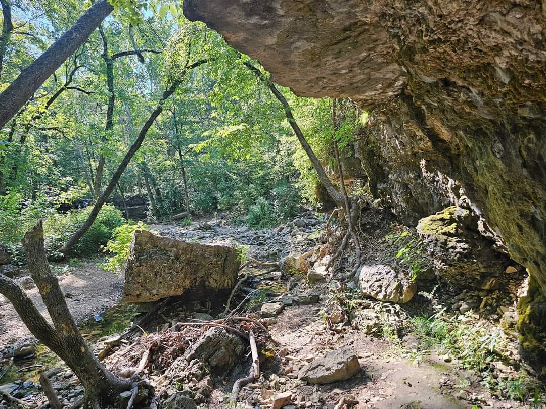
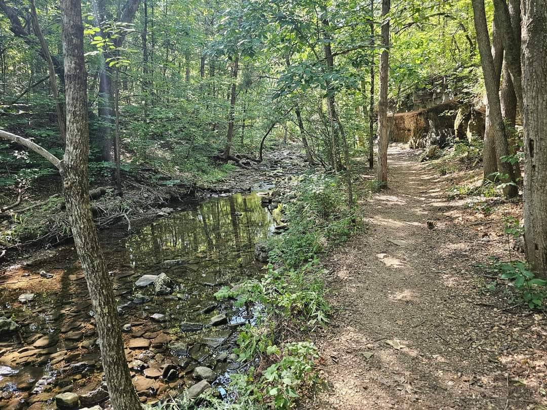
The Waterfall Trail runs along an un-named tributary of Roark Creek and includes some beautiful rock formations, a waterfall, and a dense tree canopy.

The 1.8 mile long trail is an unpaved footpath, rugged in some locations, and crosses a creek in two locations. Since the trail runs along a natural creek, it is subject to closure during and after heavy rainfall.

The trail is located about 300 feet north of the intersection of Roark Valley Road and Shepherd of the Hills Expressway. Limited parking is available near the trail head adjacent to the charcoal plant.

Finding the parking lot is easy, however from there is not will marked. You will have the urge to cross the railroad tracks and head towards the visible body of water. I mean it makes sense that a waterfall would need to be near water. However you actually need to turn around and hike towards the entrance of Westgate. Just past the gate you will find the trail head that leads you into the woods.

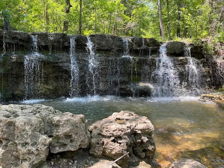
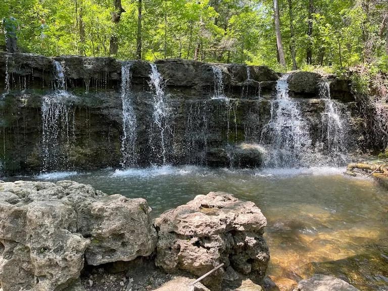
There are two waterfalls on this trail, the first is smaller in size but its a great place to get in and swim. The water forms a nice pool and has a depth of 5 feet so I don’t recommend jumping or diving into the water. However it is a great place to enjoy the cool water.

The second waterfall is another half mile or so down the trail and is the more scenic of the two. This waterfall stands about 8 feet or so and is 30 feet across. This is a fun place to take pictures and enjoy the solitude.

I was there on a Saturday, in 100 degree weather and had the place to myself. From the lack of trash, I have a feeling this is a bit of a hidden gem. Please help keep this area beautiful, carry out your trash. Thanks for reading and have fun!

For more Amazing Locations in Missouri, click here. For the areas best lodging, click here. For the best family activities, you can click here.

This Vacation Home Is A Little Slice Of Paradise Overlooking The 11 Point River

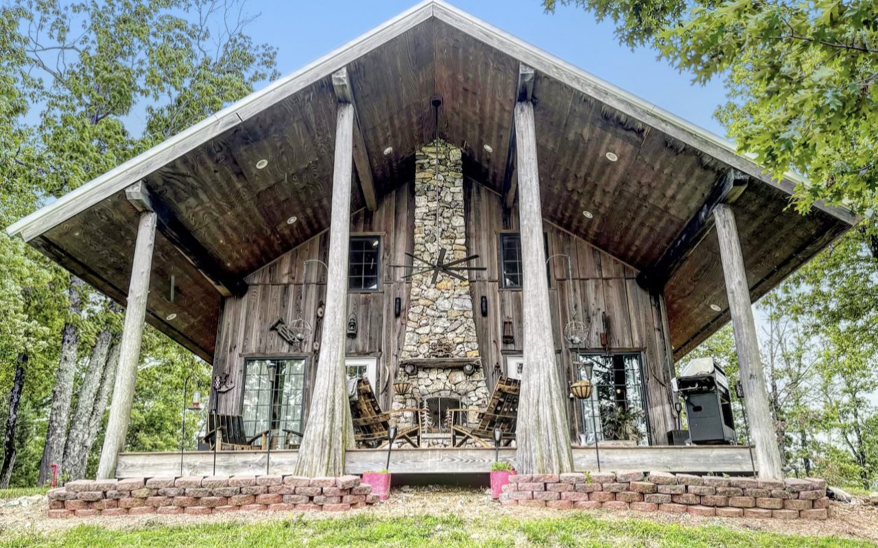
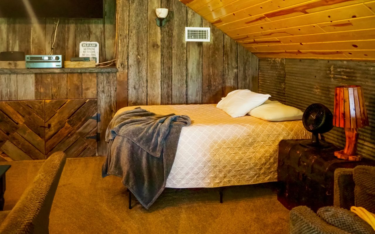
If your looking for the best vacation home around, look no further. The Hilltop Luxe Cabin at Trukees has everything you need and more! This beautiful two bedroom vacation home is located just outside Pocahontas Arkansas on the 11 Point River! To check prices and availability, click here.

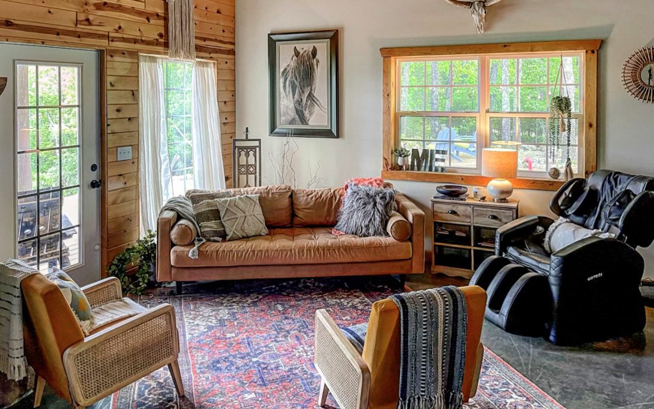
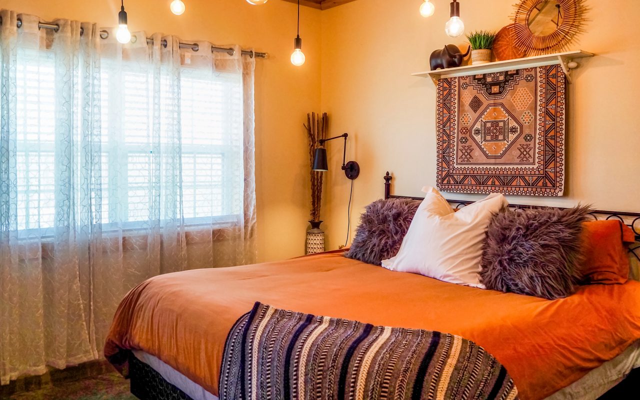
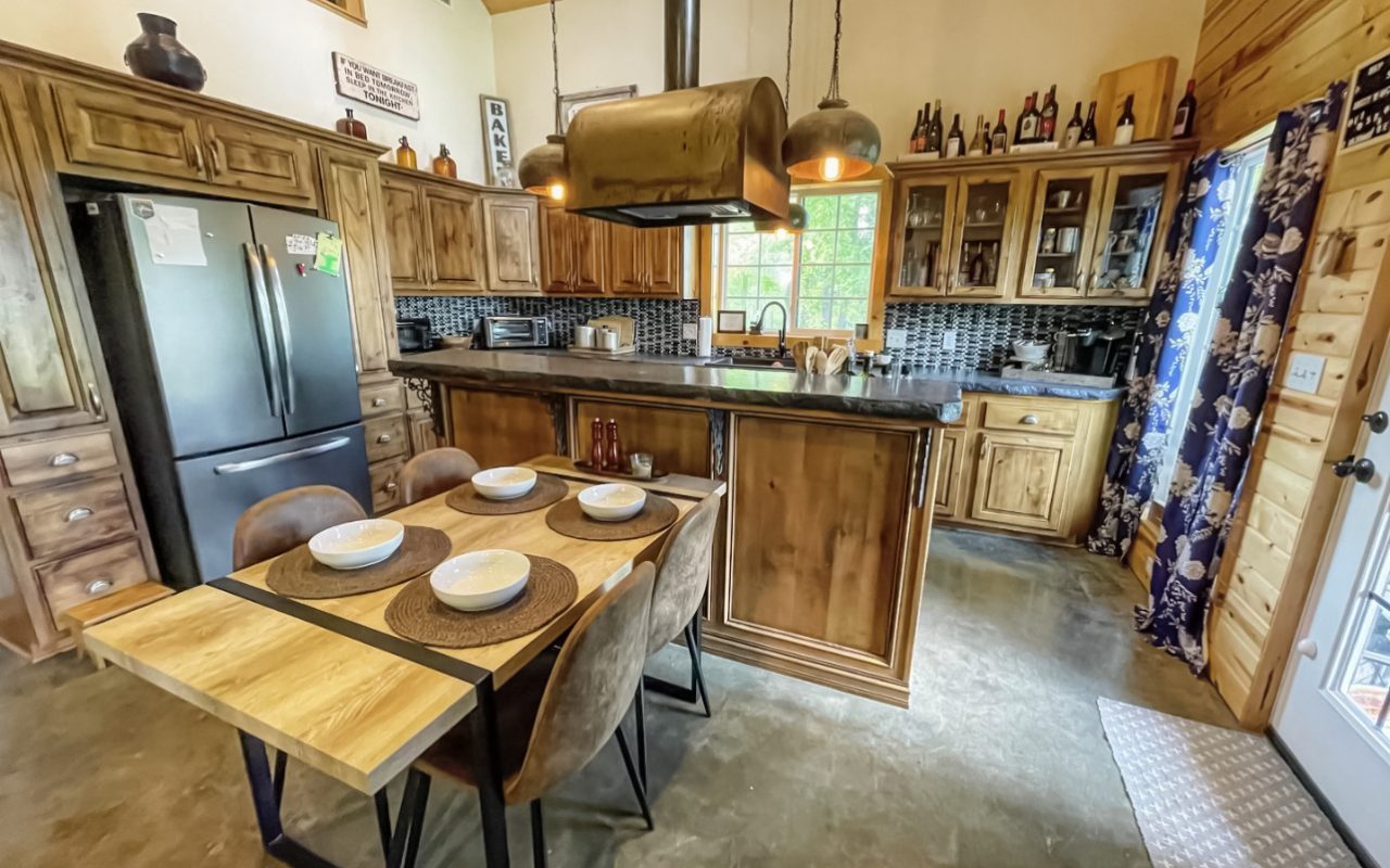
The Luxe Hilltop River View Cabin sits high over the beautiful Eleven Point River with the most amazing view. This fully furnished rustic cabin offers 2 bed/2 bath perfect for family getaways on the river.

This cabin has everything you’ll need to make for an easy, comfortable, and even more FUN stay. The absolutely breathtaking Eleven Point River is known for fishing, swimming, kayaking, canoeing, and lazy tubing. Trukees offers float accommodations designed specifically for your cabin & guests!

I’m actually sitting next to the fireplace in this cabin as I write this article. So I know first hand just how special it is. The entire cabin is beautifully decorated and comes will all the amenities you could ask for.

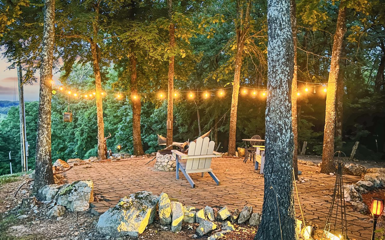
The yard has a trampoline, an outdoor fireplace, an amazing back porch with incredible views. On the other side of the vacation home is a fire pit with plenty of outdoor seating, and even a hammock perched between two trees. Tomorrow after my kayak trip I plan on enjoying a nap in the hammock. There is even a hot-tub on the porch!

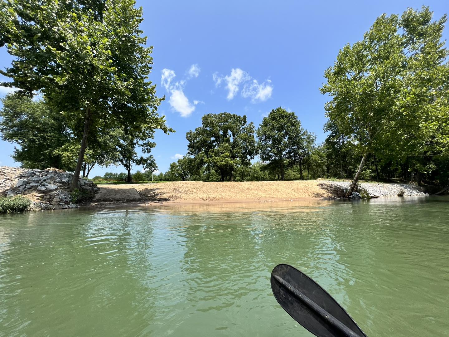
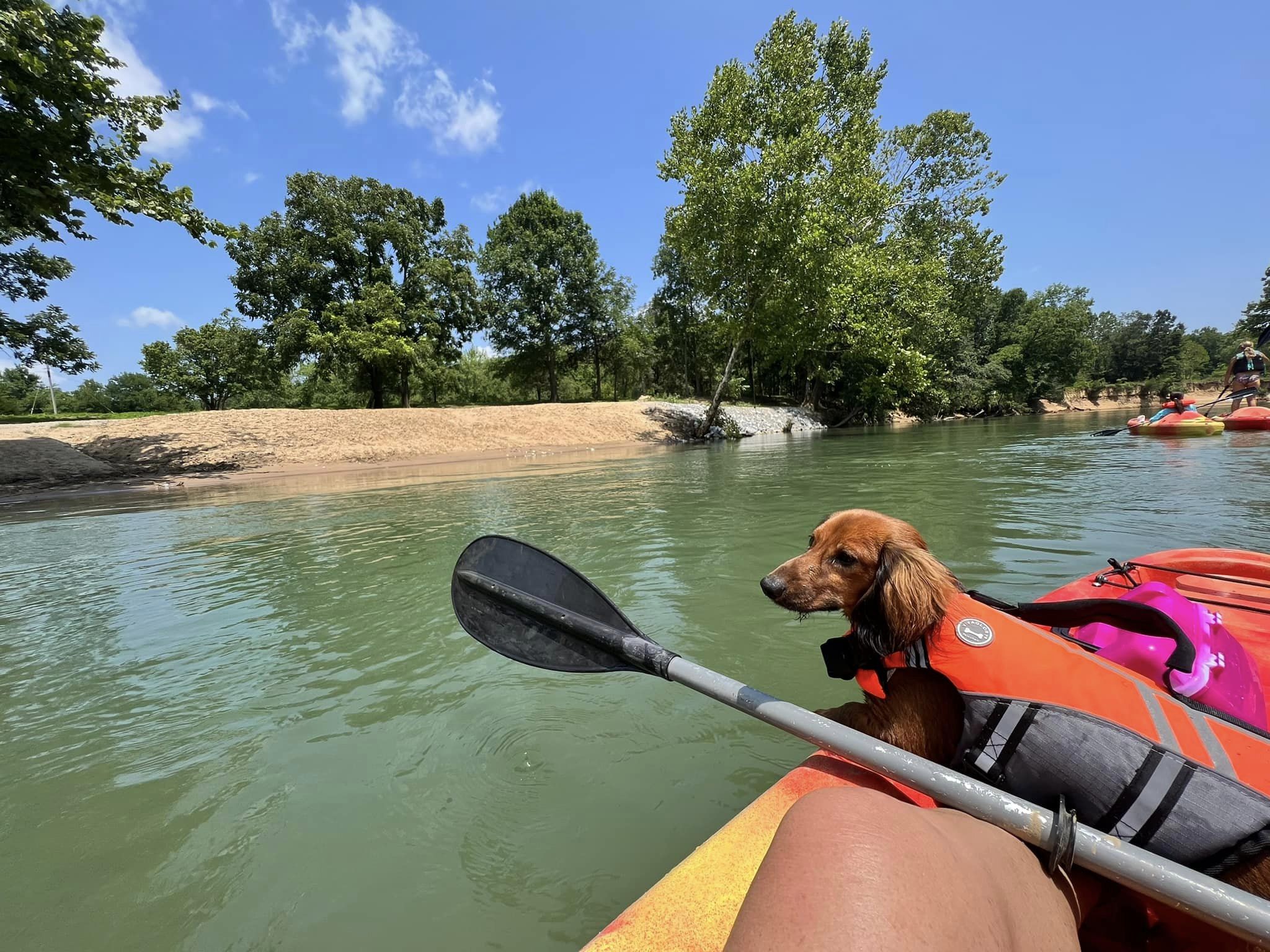
What better way to spend the day than on the beautiful Eleven Point River and end your float right below your cabin! Trukees is the local floating outfitter & offer all types of floating accommodations. They can customize floats designed specifically for you and your guests. They have kayaks, canoes, rafts, and tubes available! Have your own vessels? Great, they will help with transportation of those as well.

This is the perfect place for a family vacation, girls weekend away, or a guys adventure trip. The lodging options are all spacious and provide plenty of privacy. So no matter what your reasons are for your visit, your sure to have an unforgettable time!

For the best family activities in the area, click here. For a listing of Nearby Amazing Locations, click here.

The Grand Canyon Of The Ozarks Is A Perfect Place To Spend A Day Exploring

One of the most amazing parks in the Midwest is right here is beautiful Missouri. Grand Gulf State Park is often referred to as the Grand Canyon of the Ozarks. No matter what you call it, make no mistake this is one of the most spectacular natural wonders in the Midwest. Grand Gulf State Park can be found on Hwy W, in Koshkonong, Missouri, more information can be found by click here.
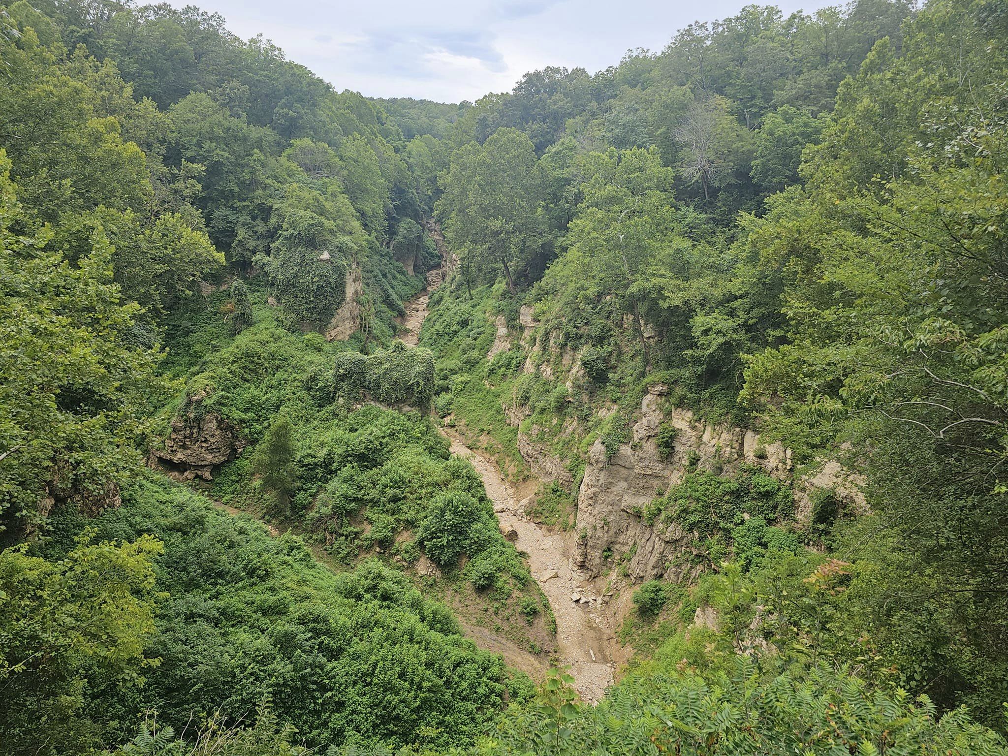
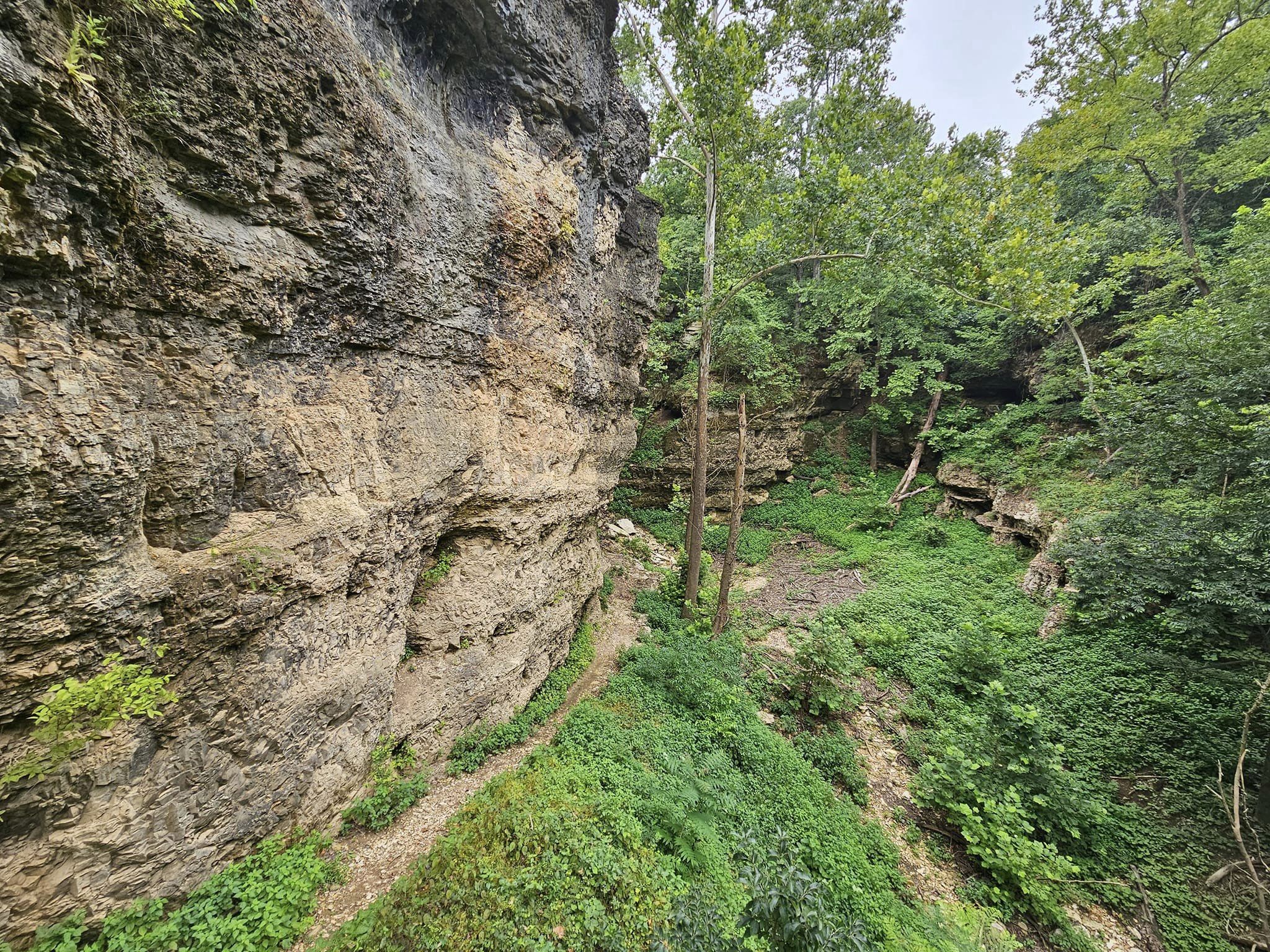
The “Grand Gulf” stretches for about three-quarters of a mile between 130-foot-high walls. Visitors can view the gulf from trails on top or from the floor where they can walk under the natural bridge, which spans 250 feet with a 75-foot-high opening. There is no official trail leading to the bottom, so visitors should use extreme caution when attempting to access the bottom.

Grand Gulf, often referred to as Missouri’s “Little Grand Canyon,” has a long history as a geologic curiosity. It is a spectacular sight and is a true chasm, deeper than it is wide.
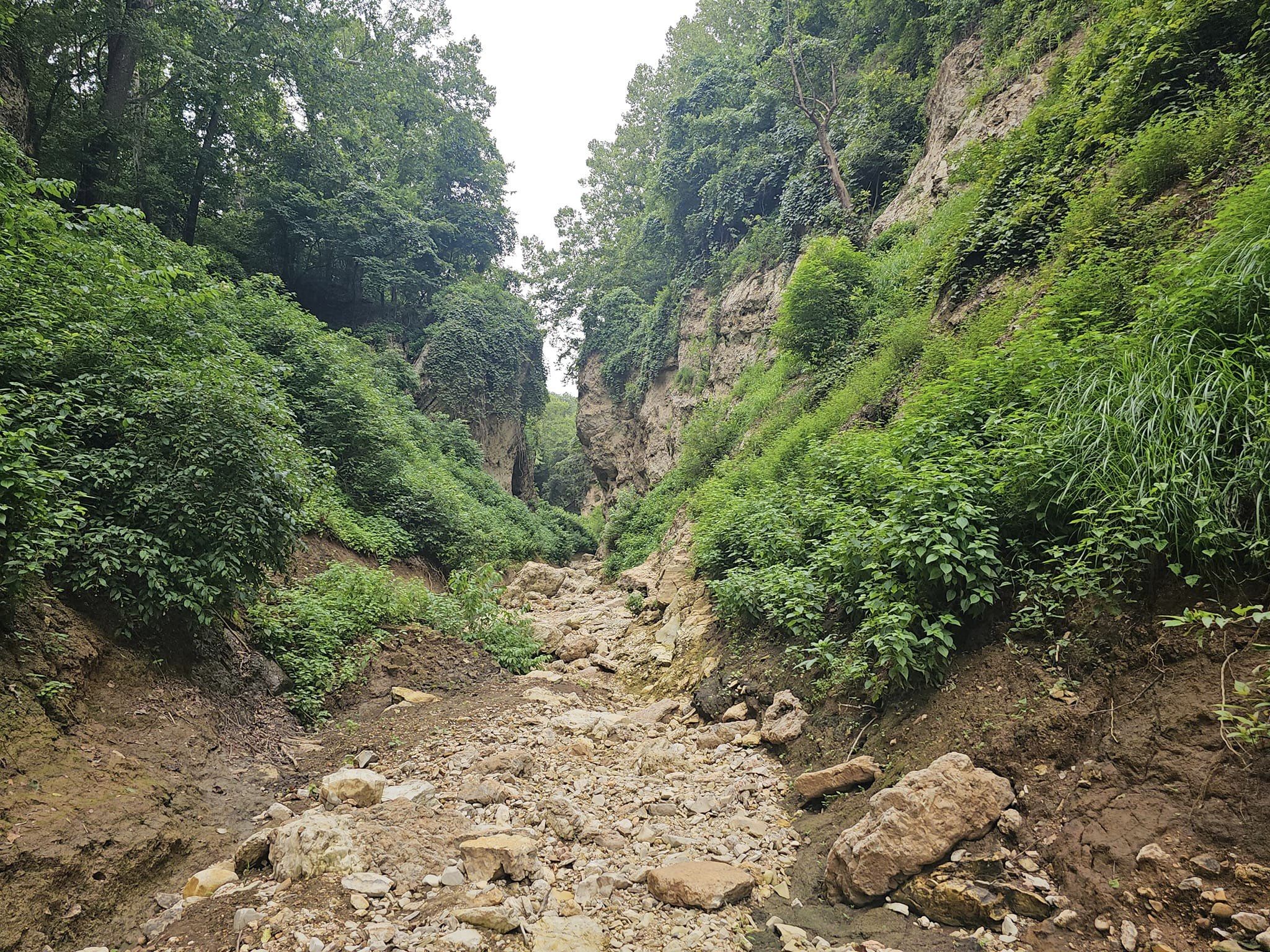
To understand its origin, one must understand the geology of the area. The limestone and dolomite bedrock here are very soluble in the mildly acidic groundwater that percolates down from the surface. The water seeps into the fissures and fractures in the bedrock, eventually enlarging the cracks into caves.
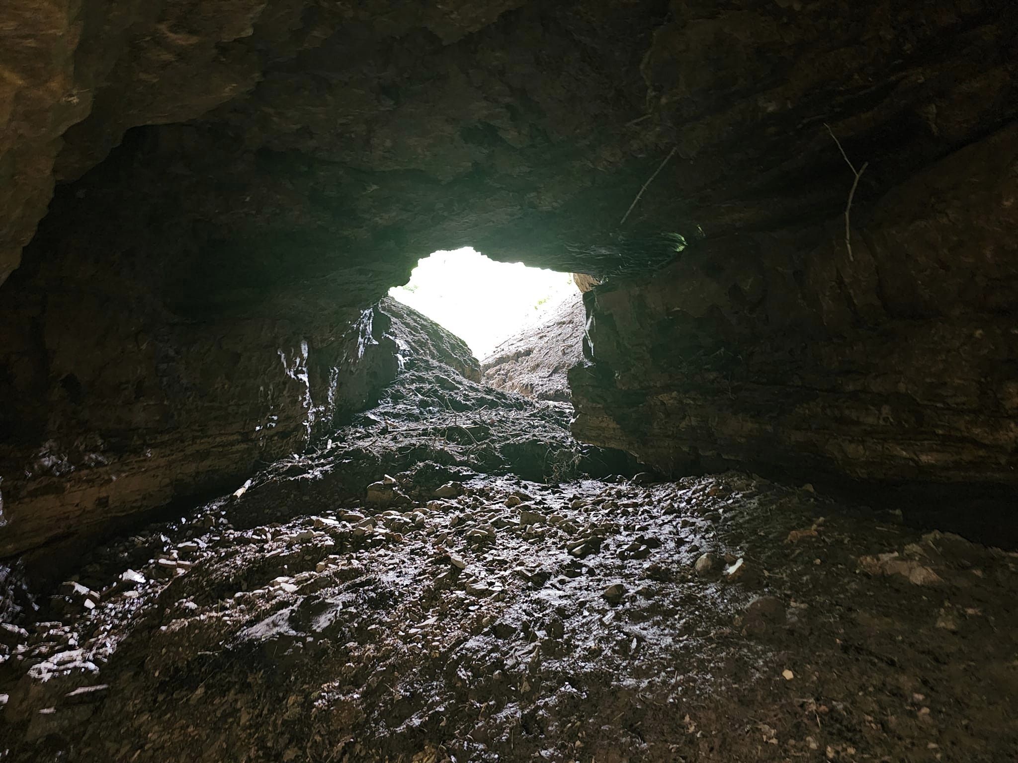
Here at Grand Gulf is a cave system with a roof that collapsed an estimated 10,000 years ago. The result is a vertical-walled canyon about three-quarters of a mile long. Bussell Branch, a surface creek that drains about 28 square miles, empties into the chasm through a process called stream piracy. All of this water passes down the length of the chasm, under a 250-foot natural bridge (an uncollapsed remnant of the original cave) and back into the open canyon. Finally, at the lower end of the chasm, it enters the mouth of the remaining underground cave system. It travels 9 miles underground, and re-emerges at Mammoth Spring in Arkansas. Mammoth Spring flows as much as 9 million gallons of water per hour, part of it from the Grand Gulf.

The steep walls of the chasm are covered with herbaceous greenery, and from the upstream end down, the canyon gets rapidly deeper. The natural bridge, which spans the canyon at about its midpoint, is some 75 feet high at the upstream end, but the ceiling drops to about 10 feet high on the downstream side. The floor of the chasm is strewn with tumbled dolomite blocks that were once part of the cave roof.

The mouth of the portion of the cave that has not collapsed (at the downstream end of the chasm) is blocked only a short distance inside by mud and debris that allows the water from Bussell Branch to percolate through, but bars human access. In the early 1990s, a robot vehicle, equipped with a digging tool and remote camera, penetrated a significant distance into the cave. As a result of this reconnaissance, it was determined there is no feasible way through the massive blockage to gain access to the rest of the cave.
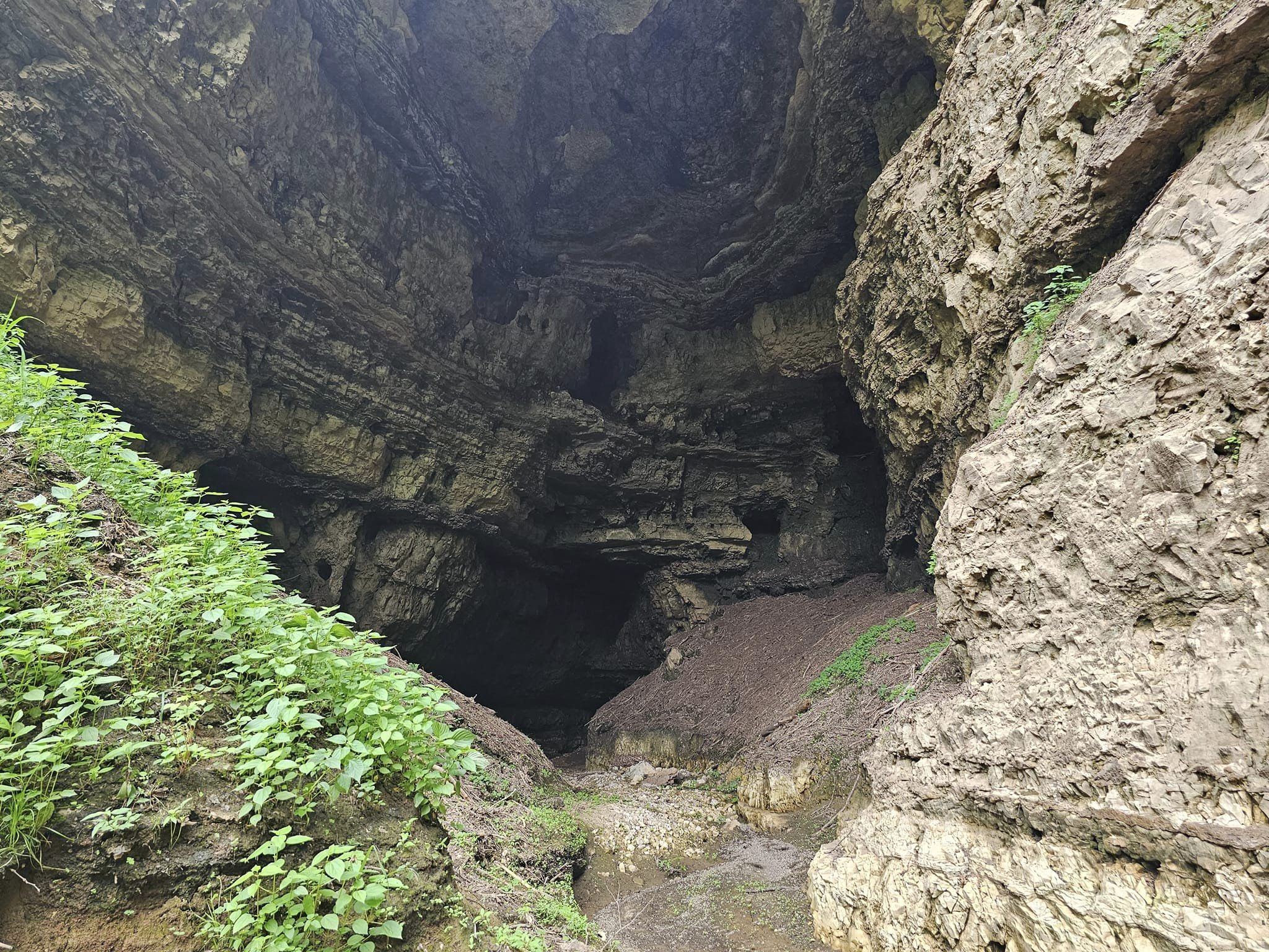
Early explorers were able to enter the cave. Luella Agnes Owen, in her book “Cave Regions of the Ozarks and Black Hills” (1898), recounted her explorations in the Grand Gulf. After entering the cave at the downstream end of the chasm, “The ceiling dipped so we were not able to stand straight, and the guide said he had never gone farther; but to his surprise here was a light boat which I am ready to admit he displayed no eagerness to appropriate to his own use, and swimming about it, close to shore, were numerous, small, eyeless fish, pure white and perfectly fearless; the first I have ever seen, and little beauties,” she wrote. Owen used the boat to explore the underground system for a considerable distance.

Access to the deeper portions of the cave remained possible until the 1920s when a severe storm washed many downed trees and other debris into the gulf, filling the cave. Today, heavy rains fill the gulf to depths exceeding 100 feet, and the water drains out slowly over a period of several weeks.
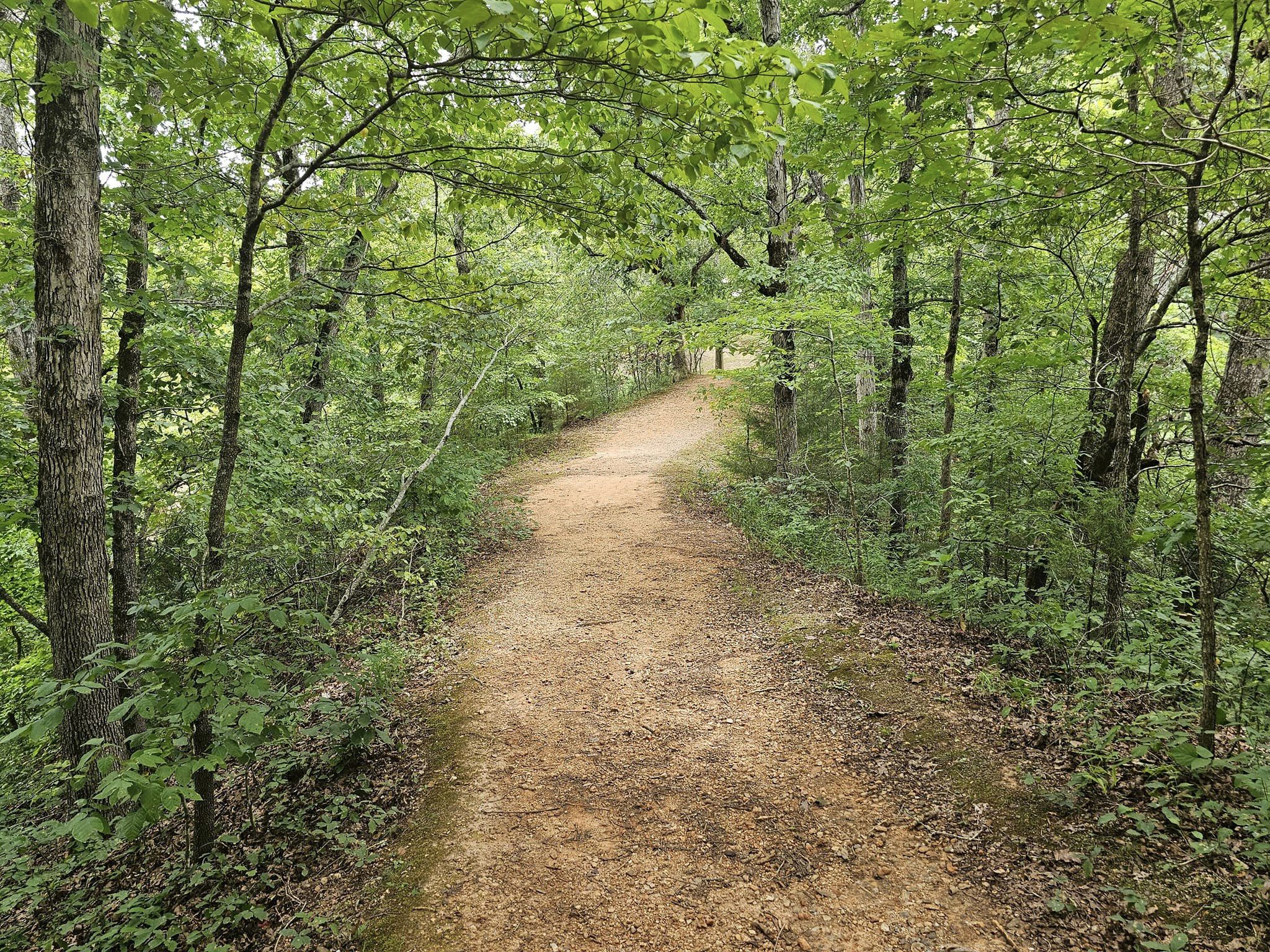
In 1971, Grand Gulf was designated a National Natural Landmark, and in 1984, the property became a Missouri state park. The department has laid out trails and installed boardwalks at this day-use park, and there are many picnic sites scattered on the tree-shaded rim of the chasm.
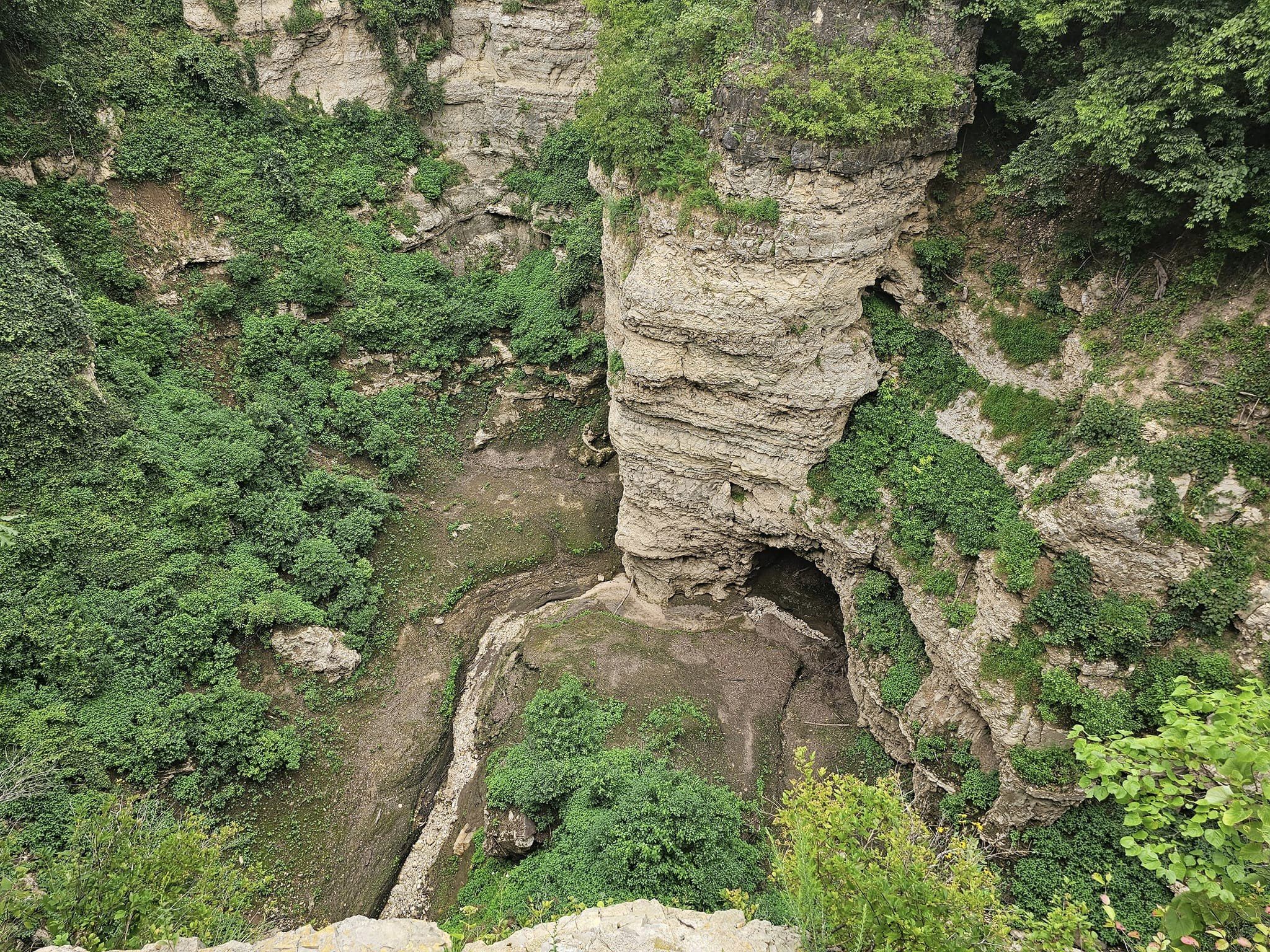
If you only visit one park this year, make it Grand Gulf State Park, this one is simply amazing.
For more of Missouri’s Amazing Locations, click here. For nearby lodging, click here. For the best family activities in the area, click here.
Visit One Of America’s Most Iconic Destinations On This Unforgettable Tour

Discover some of the Southwest’s most spectacular landmarks—and leave all the logistics to someone else—on this full-day tour from Las Vegas. Following morning departure from the city, travel via comfortable coach into the Navajo Nation. Your Navajo guide will introduce you to landmarks like Antelope Canyon, Horseshoe Bend, and Glen Canyon, and will share the stories beyond these one-of-a-kind natural wonders. Round-trip transit from Paradise/Las Vegas makes getting around simple See Antelope Canyon, Horseshoe Bend, and Glen Canyon, all in one day Travel in the comfort of an air-conditioned, Wi-Fi-equipped coach Learn the stories behind the natural wonders from your Navajo guide This trip takes about 12 hours and costs just $209.00. For more information, or to book your trip, click here.


What To Expect

1 St. George We begin our day heading out along a scenic drive into the Navajo territory. Stop for breakfast in St. George Utah home to the oldest continuously operating Mormon temple in the world 20 minutes • Admission Ticket Free

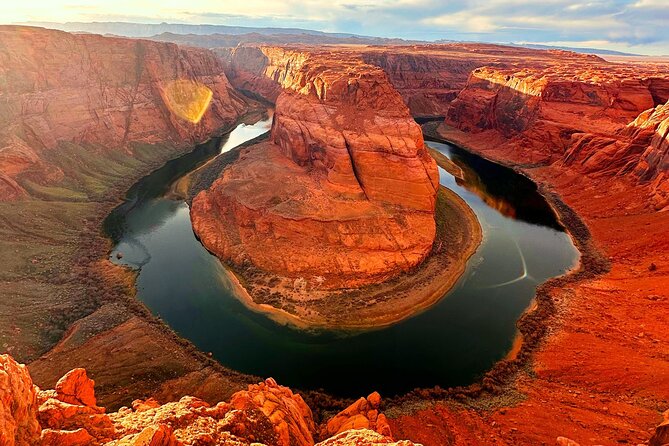
2 Horseshoe Bend As we head deeper into Navajo territory we approach the mighty Colorado River, for a visit to “Horseshoe Bend” where the river flows and meanders around the rocks creating a unique horseshoe-shaped loop beloved by visitors and photographers from around the world. 1 hour • Admission Ticket Free

3 Antelope Canyon Travel to where “The water runs through the rocks” as per the local Navajo folklore. We tour the lower Antelope Canyon and visit the spectacular dunes created by the wind, water and sand; words are not enough to describe these formations created by Mother Nature. A local Navajo guide will tour us through the canyon and show us the beauty of the sun which creates shafts of light that shine through the slits in the canyon walls, creating one of a kind photo opportunities. 1 hour 30 minutes • Admission Ticket Included

4 Glen Canyon Dam Overlook After a break for lunch we head to the Glenn Canyon viewpoint for one last look at this spectacular area, before we head to Las Vegas for an evening arrival.


To see more of America’s most Amazing Locations,  click here. For the best Family Activities in the country, click here.

« Older posts Newer posts »